Roads, counts, and six shots.
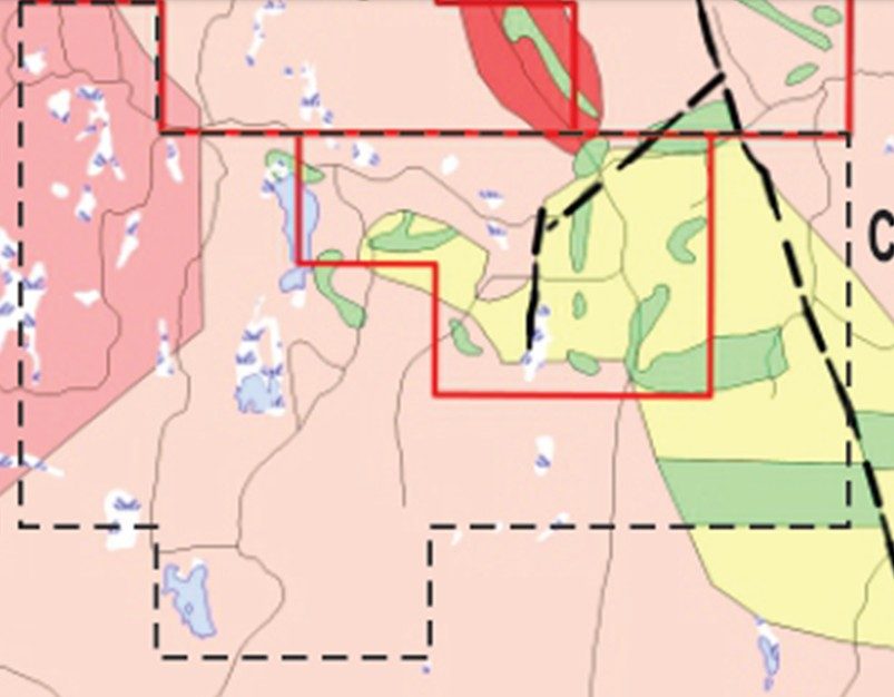
The 2023 program mapped the logging-road grid and used a scintillometer as a rare-earth screen, then a handheld XRF on in-situ bedrock. Assay results for rare earths were poor. Presence was confirmed.
What was done
Instrument: Urtec UG130 threshold gamma-ray scintillometer, total-count setting, and an InnovX Delta handheld XRF on a three-beam spread. Shots were taken only of bedrock in place. Positions in NAD83 UTM on a handheld GPS.
Lindsay Allen and Alex DeBaie prospected seven days in May–June 2022 and two days in September 2022. Mapping took ten days from June to August 2023, Lindsay with Alex DeBaie. The report was written in November 2023 by Daniel Allen with Ron Mills. Greg Morris drew the plots.
Field help also came from Ken Mallett, Alex MacKay, Ken Wentzell, Bill Murray and Geoff Baldwin. Some of the work was assisted by the Nova Scotia Mineral Resource Development Fund.
The report is explicit: error on bedrock XRF shots is significant. Results are indicators only. They were used to pick places for laboratory geochemistry, not to quote grade.
Where the indicators cluster
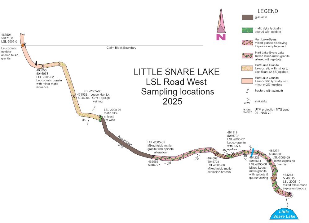
Best shot locations in the report: A6, A8, B13, B14, B17 and D3. Radiometric hotspots sit near contacts in the evolving magma, including diorite dykes and the epidote phase. Local count anomalies at D3 and B7.
D3
Zirconium 3,417 ppm, with niobium, lanthanum, cerium, tin, tungsten, thorium and uranium also up. By the stream on the corduroy road east of the lake. Named for follow-up.
A2, A6, A7, A8
East of the lake, with the epidote alteration. Tin, tungsten and thorium anomalous. A6 and A8 are in the report’s short list. Yttrium 679 ppm sits east-northeast of the lake.
B13, B14, B17
East–west road. Niobium, lanthanum and cerium coincide. Thorium also at B12 and B17. The report asks for more work on this road.
K/Rb under 75 east-southeast of the lake is read as a more evolved melt. Calcium is highest in the same area. MacHattie had already flagged calcium and potassium as alteration guides at Debert Lake.
Next pass
The 2023 report recommends more prospecting, radiometrics and XRF from east-northeast to east-southeast of Little Snare Lake, then trenching and grid work on the D3 and B-road sites if they hold up. Close-spaced airborne radiometrics if it can be flown.
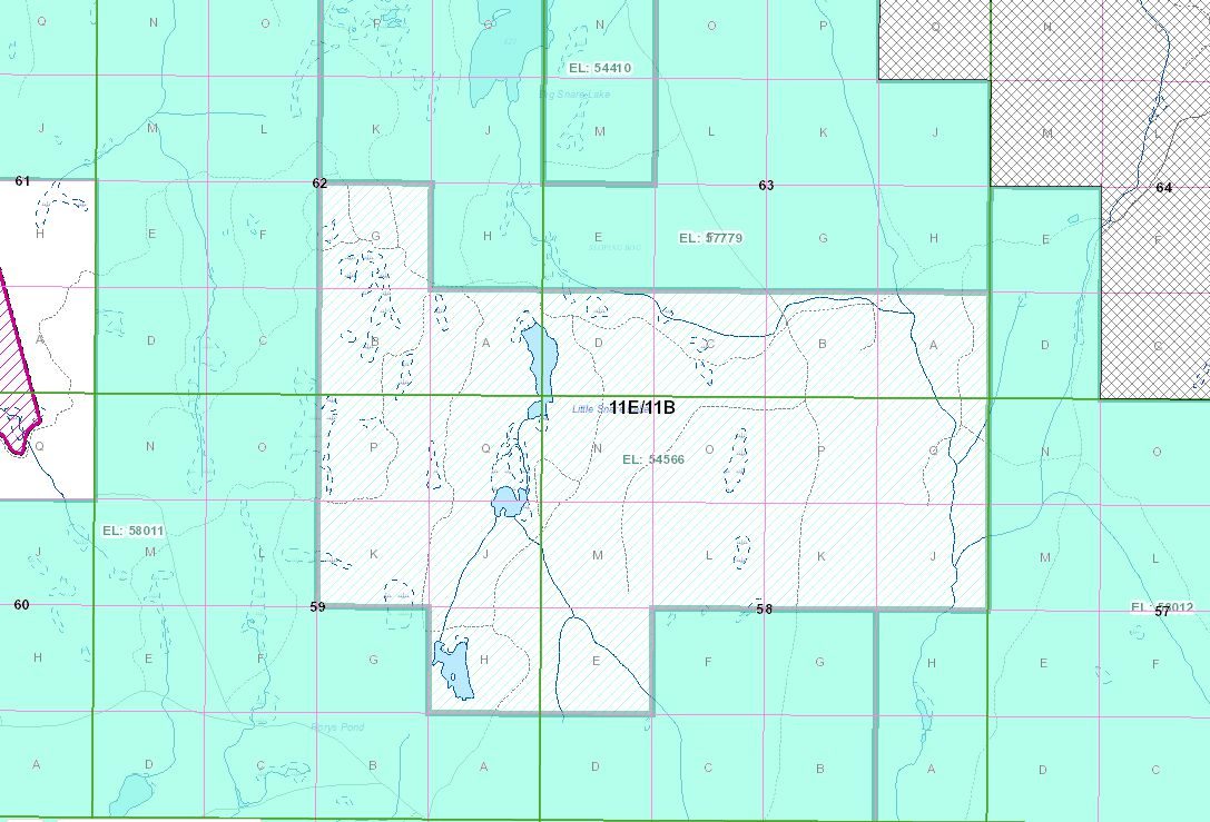
Later mapping added outcrop on the road northwest of the lake, and untested road exposure northwest of Rory’s Pond, as places for the same kind of rock sampling. Those sites are not yet laboratory assayed. A sample mentioned southeast of the lake and northeast of Rory’s Pond still has to be checked against the licence line before it is treated as Elk ground. MGK Consulting staked the southeast flank in March 2026.
The intended assay is total dissolution, lithium-borate or sodium-peroxide fusion, then ICP-MS, with chondrite-normalized plots a geologist can read. That work has not been done.